
Abruozdielis:Cloud to cloud lightning strike.jpg

Parvaizos dėdloms: 800 × 534 pikselē. Kėtū dėdlomu: 320 × 213 pikselē | 640 × 427 pikselē | 1 024 × 683 pikselē | 1 280 × 854 pikselē | 1 600 × 1 067 pikselē.
Pradėnis abruozdielis ((1 600 × 1 067 taškū, faila dėdoms: 237 KiB, MIME tips: image/jpeg))
| Tas abruozdielis īr ėš Vikitėkuos arkīvu. Anuo orėgėnalos aprašėma poslapis īr čiuonās. |
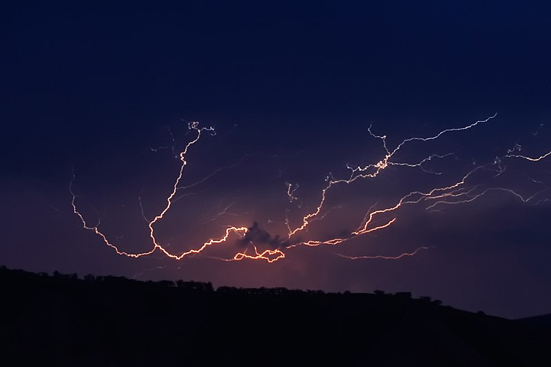
Cloud to cloud lightning strike, March 2007, Swifts Creek
|


| ||||||||


|
Suteikiamas leidimas kopijuoti, platinti ir/ar redaguoti šį dokumentą pagal GNU Free Documentation licencijos versijos 1.2 sąlygas, publikuotas Free Software Foundation; be nekintamų dalių, be priekinių ir galinių tekstinių žymų viršeliuose. Šios licencijos kopija įtraukta dalyje, pavadintoje GNU Free Documentation License. | Tik 1.2 |
This file is published under the following Creative Commons license:
Attribution NonCommercial Unported 3.0 |
| Fotografijos koordinatės | | Šis ir kiti paveikslėliai: OpenStreetMap |
|---|
Abruozdielė istuorėjė
Paspauskėt ont deinas/čiesa, ka paveizietomėt abruozdieli, kāp ons ėšruodė pradiuo.
| Dėina/Čiesos | Pamažėnėms | Mierā | Nauduotuos | Paāškėnėms | |
|---|---|---|---|---|---|
| vielībs | 12:02, 4 spalė 2007 | | 1 600 × 1 067 (237 KiB) | Fir0002 | Cloud to cloud lightning strike, March 2007, Swifts Creek {{Fir0002 17}} |
| 11:58, 4 spalė 2007 |  | 1 600 × 1 067 (161 KiB) | Fir0002 | Cloud to cloud lightning strike, March 2007, Swifts Creek {{Fir0002 17}} |
Abruozdieliu nauduojėms
Ons poslapis ruod ton abruozdielin:
Abruozdielė nauduojėms vėsor
Tėi viki poslapē nauduo šėton abruozdieli:
- Skvarmas nauduojėms ar.wikipedia.org
- Skvarmas nauduojėms ast.wikipedia.org
- Skvarmas nauduojėms ca.wikipedia.org
- Skvarmas nauduojėms en.wikipedia.org
- Skvarmas nauduojėms en.wikiquote.org
- Skvarmas nauduojėms en.wikiversity.org
- Skvarmas nauduojėms es.wikipedia.org
- Skvarmas nauduojėms fy.wikipedia.org
- Skvarmas nauduojėms lt.wikipedia.org
- Skvarmas nauduojėms mk.wikipedia.org
- Skvarmas nauduojėms vi.wikipedia.org